The estate
The land, the masterplan, and the parts we will not build on.
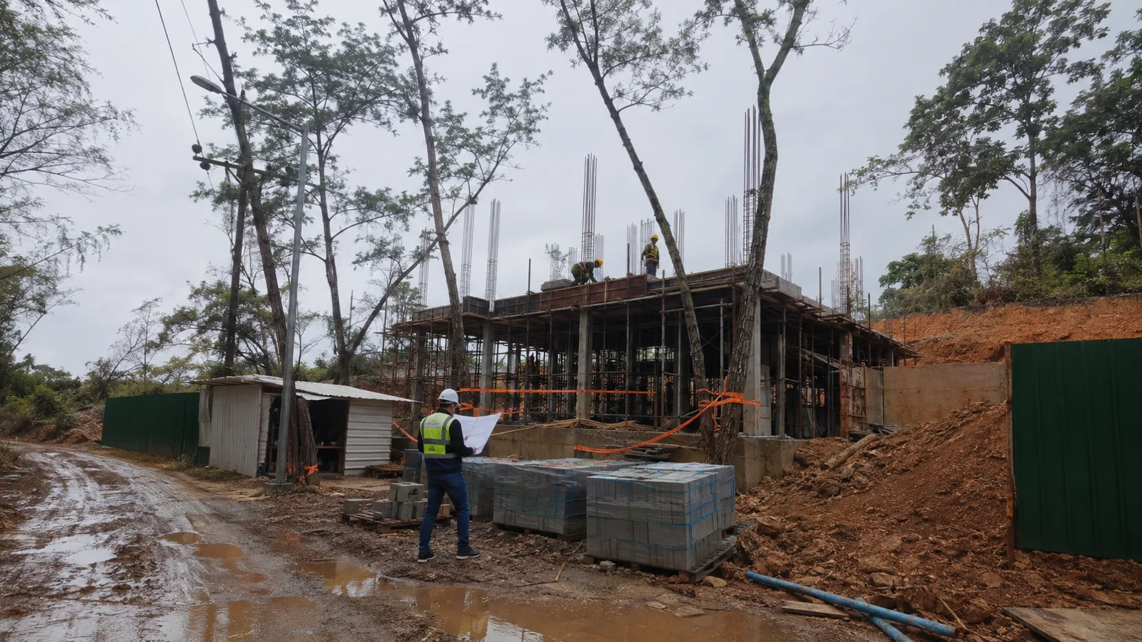
Ao Lom Land Co., 4 rai 1 ngan, 18 leasehold plots. Two kept unbuilt for drainage and a tree buffer. The beach is public — we maintain a registered right-of-way path, not the sand. Honest distances, the slope, the drainage.
- Land
- Ao Lom Land Co., Ltd., Chanote [12345], ≈ 6,880 m², one title, subdividing into 18 leasehold plots + common land
- Masterplan
- Two rows down the slope — a lower row (10 plots) nearer the beach path with full or partial sea view, and an upper row (8 plots) behind, with partial or filtered sea view over the lower rooflines. Every plot’s view and every plot’s overlooking are disclosed per villa.
- Phases
- Phase 1 — Villas 01–10, hand-over target Q4 2027. Phase 2 — Villas 11–18, hand-over target Q3 2028.
- Two plots kept unbuilt
- The northern corner is the drainage reserve + bioswale — the estate stormwater discharges here; it cannot be built on (in the land company articles). The southern strip is a 20 m tree buffer to the neighbouring land — also constitutionally protected. Neither is a future phase.
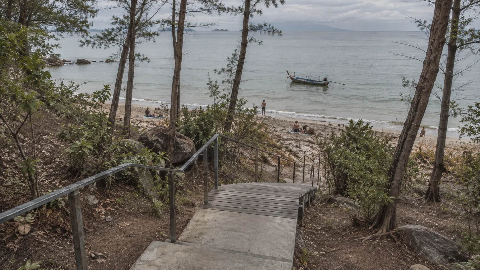
- Beach access
- A 4 m registered right-of-way over the land company strip, from the lower estate road down ≈ 120 m of planted steps to Ao Lom. Ao Lom itself is public — every Thai beach below the high-water mark is public land. The estate maintains the path, not the beach.
- Shared facilities
- A sala (open pavilion ≈ 120 m²), a 25 m lap pool, an outdoor shower, a small gym room — on a common parcel mid-slope, maintained from the estate fee.
- The slope
- Plots sit on a 12–18° grade. Every plot’s cut/fill and retaining-wall design is on its villa page. A geotechnical investigation (boreholes, a named firm) set the foundation type per plot.
- Drainage & slope stability
- Lower hillside, not a steep upper slope. Mitigation: the bioswale, the retained tree canopy, the engineered walls, and a slope-stability inspection every 2 years funded from the sinking fund. The relevant hazard here is stormwater and slope — addressed — not river flooding.
- Access
- One private road off the public soi, ≈ 350 m, maintained by the estate; a passing-bay design; a turning head at the top.
The honest distances (by car, off-peak)
- Phuket International Airport35 min
- Kamala12 min
- Surin Beach9 min
- Bang Tao / Laguna20 min
- Nearest international-standard hospital15 min
- International school25 min
- Nearest supermarket8 min
Not "moments from everything." The numbers, measured.